Greater Dandenong Council is calling for $1 million-plus to relieve dangerous congestion just north-east of Springvale train station.
The congestion-busting Springvale level-crossing removal – which included a new bridge Lindsay Williams Crossing – has created a new set of problems in the ‘North East Quadrant’, a council traffic report has found.
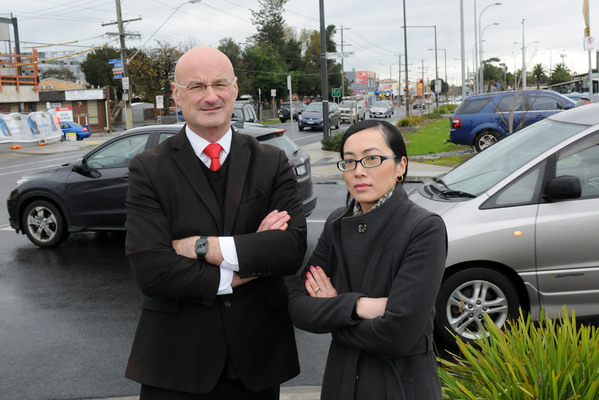
Greater Dandenong councillor Sean O’Reilly said “land-locked” drivers were facing “iron walls” of congestion trying to exit the ‘quadrant’.
Some were running the gauntlet trying to exit right onto busy, fast Springvale Road, without the help of traffic lights.
The council report found that during school pick-up times, bottle-necks were particularly heavy at Sandown Road and the unsignalised Lindsay Williams Crossing onto Lightwood Road.
Likewise, motorists’ only signalised exit to drive north on Springvale Road is at Lightwood Road – again via Lindsay Williams Crossing.
In a council survey, an “extraordinarily high” number of residents called for changes, Cr O’Reilly said.
As a result, the council will lobby the Department of Transport to fund $1 million traffic signals at the Virginia Street-Springvale Road intersection – 200 metres south of a fatal crash last year.
It is also urging for a re-introduction of a left-hand turn from Springvale Road to Lightwood Road.
As part of its advocacy, the council will also write to state MPs Meng Heang Tak and Martin Pakula.
Cr O’Reilly conceded that he felt the council was ‘kicking into the wind’ – given the Department’s reluctance to concede there was an issue.
The original design was ticked off and modelled by VicRoads prior to its opening in 2014 but was obviously flawed even from a “cursory view”, Cr O’Reilly said.
“We’ve had a huge improvement with the train station and the removal of the boom gates, but now we have these bottle-necks introduced.
“Residents in the North-East Quadrant have no choices if they want to go north on Springvale Road.
“They’re land-locked … apart from doing a U-turn on Springvale Road or exiting at Lightwood Road.”
At the time VicRoads project director Andrew Williams said the bridge was developed through a “lengthy and rigorous design process” with the project design team and Greater Dandenong Council.
According to its review, “traffic flow will be low; and even at the peak movements, traffic flow will be maintained as the peaks occur at different times of the day”.
Mr Williams also said independent road safety audits of the design found no safety issue.
Traffic modelling up to 2046 showed traffic signals weren’t required at the intersections at either end of the bridge.
The Department of Transport – formerly VicRoads – told Star News on 11 July 2019 it is now not responsible for the Sandown Road and Lightwood Road intersections.
It is managed by City of Greater Dandenong, it asserted.
In May 2019, a driver was killed exiting Rosalie Street onto Springvale Road in a three-car crash.
A 21-year-old Springvale man was recently charged with dangerous driving causing death as a result of the incident.
On 10 July, the department also investigated the recent fatal crash site at Rosalie Street.
It found there was sufficient sight distance at the intersection, with a centre median allowing cars to make a staged right turn onto Springvale Road.
“We’ll continue to monitor the area to determine if any changes need to be made.”
A department spokesperson told Star Journal on 11 June that “safety is our highest priority”.
“We will continue to work with local council, community and motorists to investigate opportunities to improve traffic flow and safety within and around the Springvale North East precinct.”
According to the department, intersection upgrades are prioritised according to factors including traffic volumes, public transport frequency, pedestrian activity levels, nearby land uses, the historical safety record of the site, the effectiveness of proposed upgrades and implementation costs.